I am just enumerating whatever values over whatever data points and when certain starting positions get near certain data points, they get a label “interesting” and the user does what the user wants…
if additional speeds or locations need to be considered, fine by me.
if you want to ignore certain data points, fine by me.
but it is fully transparent to consider every vent, window, door and roof positions.
it is very likely that most of these will not match the observations, but so be it, at least they will have been considered and can be buried and forgotten…
Of course I do not have a set of inputs that we would all agree is relatively complete and completely unbiased.
But you cannot deny (though you seem to be carefully avoiding confirming) that whether or not an early bullet nicked Trump’s ear is a critical detail in determining whether some trajectories, likely such as involving from some AGR locations that were too elevated to hit both Trump’s ear and the rear southern bleacher rail, are possible trajectories (bullets fired in a roughly uniform gravitational field don’t fly down and then back up).
I will not give you a presentation, he…
any presentation is inherently biased and represents the presenter’s views and preconceptions.
as I have done 2 weeks ago, I will make a kml file available to everybody who wants to look at such that the user can show or hide whatever trajectory they like, and if you think an additional point needs to be considered, you simply let me know and you will get an updated kml file including that point…
the people who believe that Trump’s ear was injured by a grazing bullet will focus more on the trajectories that include/pass by/through Trump’s head with more attention than the people who believe that was a hoax.
as google earth (pro) runs on your local computer, I will never know what scenarios are evaluated by which user or when or why…
I did not consider the gravitational field as a variable, but a bullet’s trajectory can certainly be influenced by turbulence and vertically up-directed wind bursts, but let’s be realistic and not exaggerate in these things…
anyone with google earth pro should be able to load a kml file and click around…
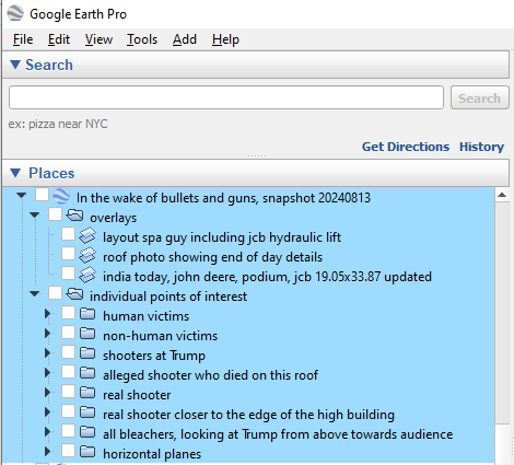
these are the clickable items I made available about two weeks ago:
note that you should remove all spaces between https and zip… this system does not allow me to enter that url in a clickable manner, but if you copy and paste and then remove the spaces before entering it in a browser, it should be fine
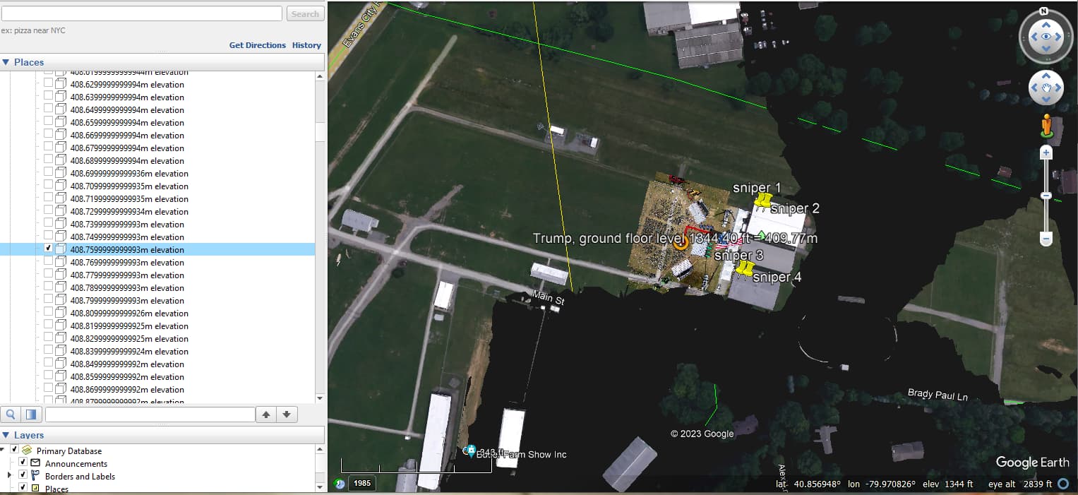
all the spots that have been blackened out are below the elevation that you have selected.
that enables you to determine at centimeter level the elevation of flat surfaces, e.g., roofs, greens like the rally area, flat roofs, parking lots, etc.
for angled roofs, you select the elevation that hides everything until the top of the roof, and then you have a very good estimate of the height of that roof…
I’m not sure if they were actually in the same room. There could be a wall. But strangely, we may never find out unless we actually interview these people. I would be happy to be corrected by anyone on that list
That would almost certainly be Jim Garrison, District Attorney of New Orleans and later a judge. He tried Clay Shaw for conspiracy in the death of JFK. Oliver Stone’s movie JFK is based in part on Jim Garrison’s trial of Clay Shaw, but also includes information that Jim Garrison wouldn’t have had access to.
Jim Garrison somehow got access to the Zapruder film and showed it at Shaw’s trial. The film was not otherwise seen by the public until 1975. I find it amazing that there are still CIA shills that claim Oswald acted alone when everyone can see Kennedy’s head snapping backward in the Zapruder film.
You might have seen this already (it might even be posted above), but here is what looks to me to be the best yet available information on the elevation above sea level of the key currently measurable ground, building and roof locations at the Butler Farm site, as taken a few days ago by a specially equipped drone.
I would think that this data would be useful to have in your work.